GROWANA project engages communities on groundwater mapping
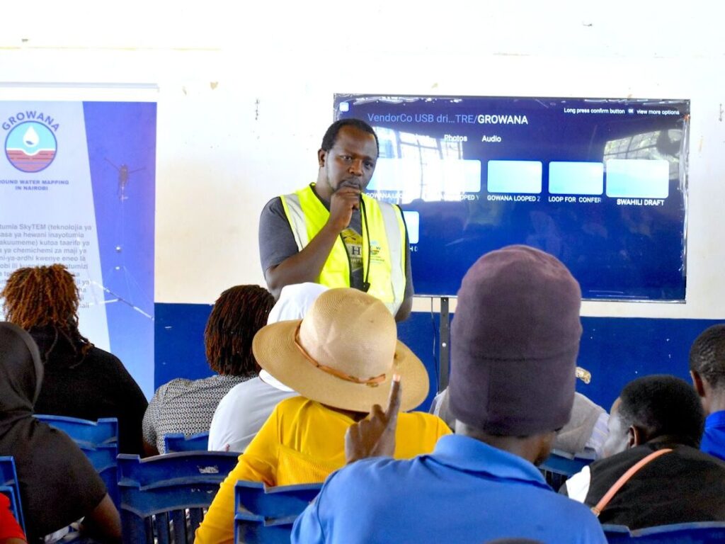
A Kenyan-Danish research partnership has completed a community engagement exercise in Kajiado and Machakos counties as part of efforts to improve understanding of underground water resources and strengthen groundwater management.
The initiative, known as the Groundwater Resources of the Nairobi Aquifer System (GROWANA) Project, seeks to improve groundwater mapping, establish a clearer understanding of aquifer systems and generate scientific information to guide sustainable exploitation of underground water resources.
The Regional Centre on Groundwater Resources Education, Training and Research (RCGW) said the engagement exercise provided an opportunity for residents to understand the technology being deployed to investigate groundwater resources beneath their communities.
During the sessions, researchers explained how SkyTEM airborne geophysical technology is being used to map the Nairobi Aquifer System (NAS) without physically disturbing the ground.
The technology uses airborne electromagnetic surveys to collect information about underground geological formations, helping researchers identify structures that could hold groundwater and improve knowledge of aquifer characteristics.
Community members raised concerns about the availability and quality of groundwater, particularly the risks associated with fluoride, contamination and excessive abstraction.
Residents also sought clarification on how the research would address declining groundwater levels, the drying up of boreholes and water pans, and the appropriate spacing of boreholes to avoid placing additional pressure on underground water sources.
The discussions further examined how expanding human settlements and other development activities could interfere with natural groundwater recharge, potentially affecting the long-term availability of water.
These concerns reflect growing pressure on groundwater resources in parts of Kajiado and Machakos, where communities depend on boreholes and other underground sources to meet domestic, livestock and agricultural water requirements.
RCGW said the engagement was intended to ensure that residents understood the objectives of the research, the safety of the airborne mapping technology and the potential benefits of generating more reliable information about underground water formations.
The organisation emphasised that involving communities is important in improving public understanding of groundwater investigations and ensuring that scientific findings respond to local water challenges.
Through GROWANA, researchers expect to strengthen the information available on the Nairobi Aquifer System, supporting better decisions on groundwater exploration, abstraction and protection.
The findings could also provide a stronger scientific basis for identifying groundwater potential, understanding aquifer behaviour and addressing challenges associated with declining water levels and unsustainable extraction.
The completion of the community engagement exercise marks another step in the research partnership’s efforts to combine scientific investigation with public participation in addressing Kenya’s growing groundwater management challenges.
As demand for water increases, improved knowledge of underground resources is expected to play an important role in securing reliable supplies while protecting aquifers for future generations.