Groundwater data key to securing water supplies in Kenya’s drylands
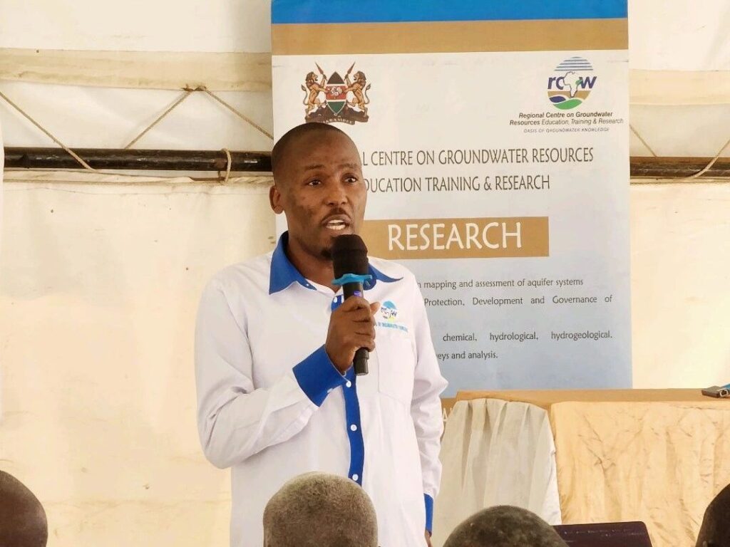
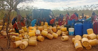
Groundwater is emerging as a critical resource in Kenya’s efforts to address persistent water shortages in arid and semi-arid lands (ASALs), but gaps in monitoring, data collection and aquifer management continue to complicate efforts to develop the resource sustainably.
With approximately 83 per cent of Kenya’s land classified as arid or semi-arid, groundwater provides an important alternative to rivers, dams and other surface water sources, particularly in counties that experience prolonged droughts and unreliable rainfall.
Data from the groundwater sector indicates that the country has considerable underground water potential, although its availability, quality and capacity to support communities vary significantly across different geological formations.
A government report cited in 2024 estimated Kenya’s total groundwater potential at approximately 1,740 million cubic metres annually. The same report indicated that the country had more than 23,500 boreholes, although some areas with high concentrations of boreholes were experiencing negative water balances due to excessive abstraction.
This presents a significant challenge for counties that depend heavily on boreholes to supply households, livestock and agricultural activities.
Unlike surface water reservoirs, groundwater is not always visible, making scientific investigations and continuous monitoring necessary to establish how much water is available, how quickly aquifers recharge and the rate at which communities can safely extract it.
The Water Resources Authority (WRA) is responsible for monitoring groundwater levels and quality through a network of monitoring stations distributed across the country’s six catchment areas. Kenya has approximately 140 groundwater monitoring stations, with measurements primarily focusing on changes in underground water levels.
The monitoring system provides information used to assess the condition of aquifers, although the available data is not yet sufficient to provide a comprehensive picture of groundwater resources across all regions. WRA collects water-level measurements quarterly, increasing monitoring frequency in areas experiencing high demand.
Groundwater investigations have also been undertaken in several counties to establish the availability of underground water and identify suitable locations for further development.
During the 2020/2021 financial year, exploratory borehole investigations collected information from 28 sites across counties including Turkana, Marsabit, Garissa, Wajir, Tana River, Tharaka, Isiolo, Embu, Kajiado, Machakos, Murang’a and Kitui.
The findings form part of efforts to improve knowledge of underground water resources and guide investment in areas where surface water sources are limited.
Research has also demonstrated how technology can improve groundwater monitoring and help authorities anticipate shortages before drought conditions intensify.
A 2022 study used information from 69 sensor-equipped boreholes in drought-prone parts of Kenya to estimate groundwater consumption and demand.
The research incorporated 756 site-month observations collected between June 2017 and September 2021. Researchers combined the borehole measurements with satellite information on rainfall, vegetation and surface water availability to develop models identifying areas experiencing high groundwater demand.
The models achieved cross-validation accuracy of between 68 and 75 per cent for different groundwater-use estimates, demonstrating the potential of combining field measurements with satellite technology to improve drought preparedness.
More recently, geospatial estimates of groundwater recharge and groundwater-related evapotranspiration covering Kenya between 2000 and 2022 have provided additional information for understanding variations in groundwater recharge across different parts of the country.
Despite these developments, access to reliable groundwater information remains a challenge. National groundwater information is not comprehensively available through a public data platform, with users generally required to request information from the relevant authorities. This limits the ease with which researchers, planners and other stakeholders can access detailed groundwater records.
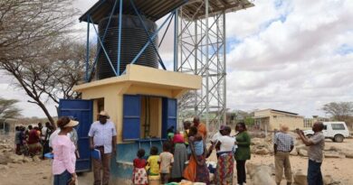
The government is also pursuing the Horn of Africa Groundwater for Resilience Programme, which targets Turkana, Wajir, Garissa, Marsabit and Mandera counties. The programme aims to improve sustainable groundwater management, strengthen monitoring systems, rehabilitate approximately 400 rural water schemes and drill new boreholes where necessary.
It is expected to benefit approximately 1.5 million people through improved groundwater access and management.
The programme highlights the importance of combining infrastructure investment with reliable scientific information to ensure that underground water sources remain productive.
For Kenya’s dryland communities, expanding borehole development alone may not guarantee long-term water security. Understanding aquifer capacity, monitoring extraction rates, protecting recharge areas and maintaining existing water systems will be equally important.
As droughts and changing rainfall patterns continue to place pressure on available water resources, better groundwater data could help the country make informed investment decisions and protect one of its most important sources of water in arid and semi-arid regions.