WRA launches climate resilience initiative
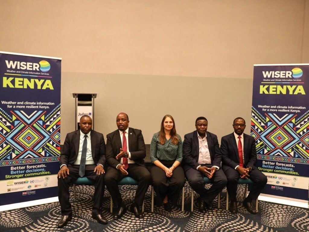
The Water Resources Authority (WRA) has launched the third phase of the Weather and Climate Information Services (WISER) Kenya programme to strengthen flood forecasting, improve early warning systems and support sustainable water resources management amid growing climate-related risks.
The initiative aims to improve the availability and use of reliable weather and hydrological information to help government agencies, communities and water resource managers anticipate flooding, prepare for emergencies and protect vulnerable populations.
The programme is supported by the United Kingdom Foreign, Commonwealth and Development Office (UK FCDO) through the United Kingdom Meteorological Office and implemented in collaboration with the World Meteorological Organization (WMO) and other consortium partners.
During the launch, WRA’s Acting Chief Executive Officer highlighted the importance of timely hydrological information in identifying flood risks and strengthening preparedness, particularly in areas along the Tana River that are vulnerable to flooding.
The initiative will prioritise the mapping of flood-prone areas around Garissa, Hola and Garsen to improve understanding of flood exposure and support targeted interventions. These locations are important in flood risk management because rising river levels can threaten settlements, infrastructure, agricultural activities and other livelihoods.
By strengthening hydrometeorological monitoring and flood forecasting, WISER Kenya Phase 3 seeks to improve the ability of relevant institutions to anticipate hazardous conditions and communicate warnings before disasters occur.
Reliable water resource information is essential for managing river systems, particularly during periods of intense rainfall when increased river flows can lead to flooding. Improved forecasting can give authorities and communities more time to prepare, helping reduce potential damage to property, protect lives and minimise disruptions to economic activities.
Beyond flood preparedness, the programme will improve access to localised and practical weather and climate information to support decision-making by county governments, farmers, pastoralists and water resource managers.
For farmers and pastoralists, timely climate information can help guide decisions on planting, livestock management and the use of available water resources. County governments and disaster management agencies can also use the information to strengthen emergency planning and coordinate responses to climate-related hazards.
The initiative further emphasises collaboration and information sharing among institutions responsible for weather forecasting, water resources management and disaster preparedness. Such coordination is important in ensuring that climate information is translated into practical action rather than remaining technical data accessible only to specialists.
The WRA leadership also stressed the need for inclusive climate information services that reach women, young people, persons with disabilities and other vulnerable groups, who may face additional challenges in accessing timely warnings and responding to emergencies.
Through the initiative, WRA has reaffirmed its commitment to working with partners to strengthen climate resilience, improve disaster preparedness and protect the country’s water resources.
As climate variability continues to complicate water management and increase exposure to extreme weather events, improved monitoring, forecasting and early warning systems remain essential tools for safeguarding communities, infrastructure and livelihoods.