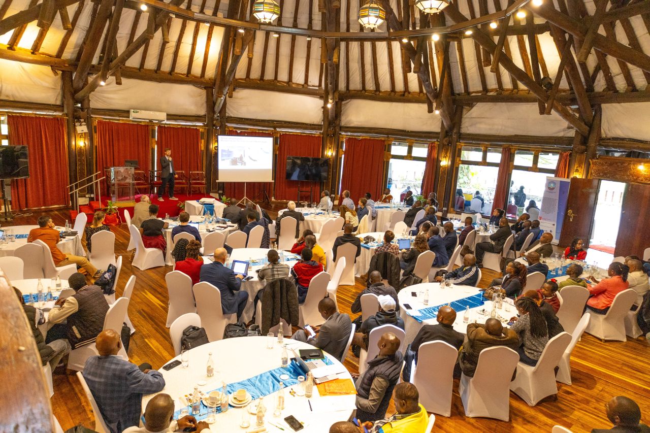








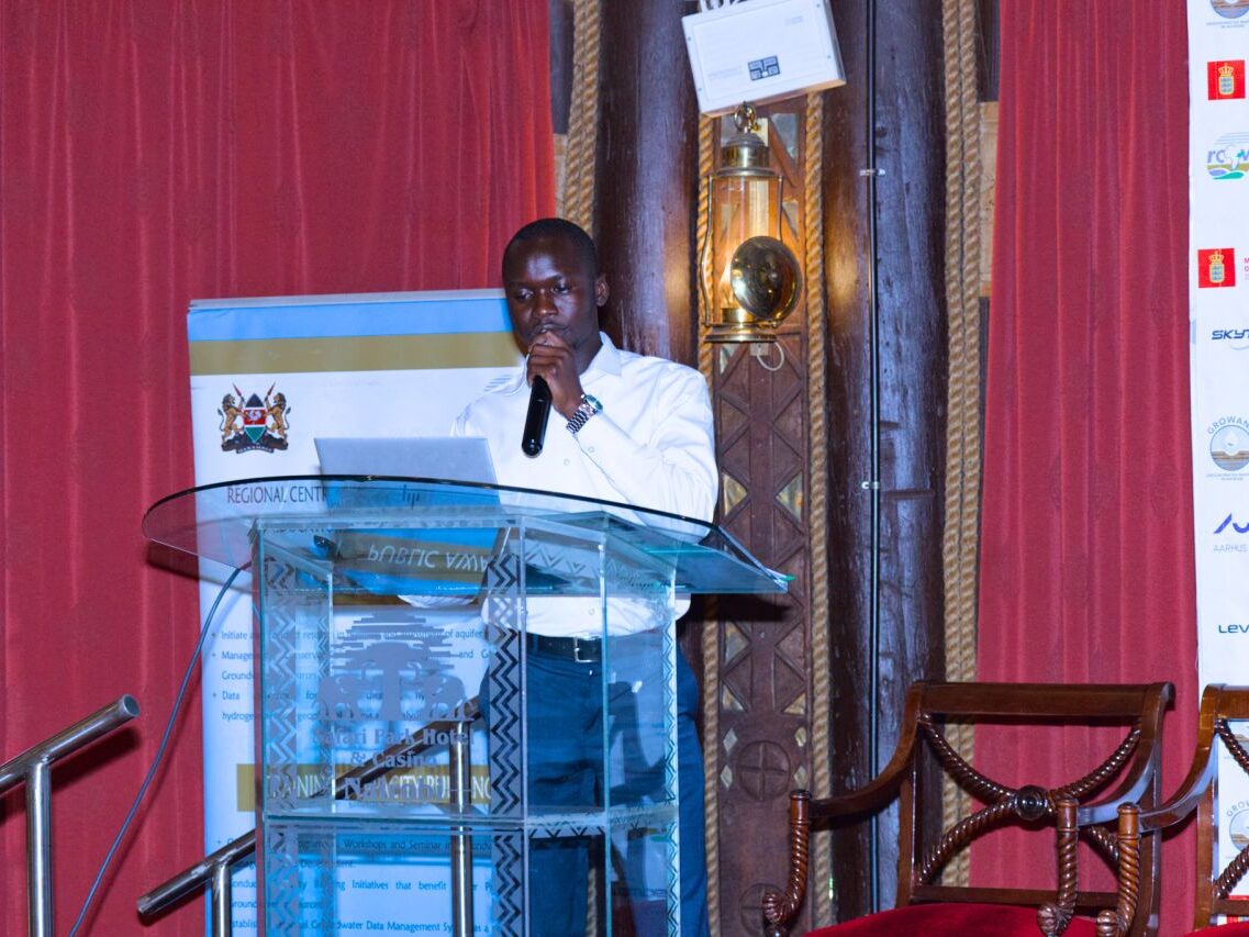
Geologist Phillip Lomurkai Presenting during GROWANA stakeholders workshop at Safari Park Hotel and Casino on 17.11.2026
The search for reliable groundwater sources in Kenya is increasingly relying on scientific investigations and advanced mapping technologies to determine where boreholes should be drilled, as rising water demand and changing rainfall patterns put pressure on existing supplies.
Identifying a suitable location for a borehole involves more than finding land where water is likely to exist. Hydrogeologists must establish the nature of underground rock formations, identify water-bearing layers, assess groundwater movement and determine whether an aquifer can sustain abstraction over time.
The investigations are particularly important in Kenya, where groundwater provides a vital source of water for households, livestock, agriculture and industries, especially in arid and semi-arid areas that experience prolonged dry periods and unreliable rainfall.
The country’s varied geology means groundwater availability differs significantly from one location to another. Some areas have extensive aquifers capable of supporting large-scale water supply, while others depend on smaller underground reserves trapped in weathered rocks, fractures and geological formations.
The Regional Centre on Groundwater Resources Education, Training and Research (RCGW) identifies hydrogeological surveys, geophysical investigations, chemical analysis and groundwater mapping as important tools for understanding underground water resources. Its work also involves using geographical information systems (GIS) and satellite imagery to identify areas with potential for groundwater development.
Geological conditions are among the first considerations when determining where to drill. Different rock formations have varying capacities to store and transmit water. In volcanic regions, including parts of Nairobi and the Rift Valley, groundwater may occur in fractured lava flows and weathered volcanic rocks. In other areas, particularly those underlain by basement rocks, water is often found in cracks and weathered zones.
These differences explain why drilling a borehole in one location can produce a substantial water supply while a nearby site may yield little water despite having similar surface characteristics.
Geophysical investigations help scientists understand what lies beneath the ground before drilling begins. One commonly used technique is electrical resistivity surveying, which measures how underground materials respond to electrical currents. The results help specialists interpret subsurface formations and identify zones that may contain groundwater.
However, geophysical findings must be interpreted alongside geological information and other investigations because underground conditions can produce similar electrical responses even where water availability differs.
Kenya is also adopting more advanced technologies to improve the accuracy of groundwater investigations. One example is the Groundwater Mapping for Nairobi Aquifer System (GROWANA), a Kenyan-Danish partnership using airborne electromagnetic technology to examine underground formations across Nairobi and Kajiado counties.
The project uses SkyTEM technology, which involves mounting electromagnetic sensors beneath a helicopter to collect information about geological structures hundreds of metres below the surface. The information is processed to develop detailed three-dimensional models showing the distribution and characteristics of underground formations.
The airborne survey was conducted between March 5 and 31, 2026, covering the Nairobi-Kajiado aquifer system. The two-year initiative, running from October 2025 to October 2027, brings together the Regional Centre on Groundwater Resources Education, Training and Research, the Geological Survey of Denmark and Greenland, Aarhus University and other technical partners.
The resulting maps are expected to improve understanding of the Nairobi Aquifer System, identify potential groundwater recharge areas and guide decisions on where future boreholes can be developed. They will also provide information for planning groundwater infrastructure and protecting underground reserves as demand for water increases across the metropolitan region.
The importance of such investigations extends beyond Nairobi. The United States Geological Survey (USGS), working with the United States Agency for International Development and Northern Arizona University, has also been undertaking groundwater mapping in the Athi and Tana River basins, which serve approximately 20 million people.
The initiative combines remote sensing, hydrogeological assessments and economic analysis to establish the potential occurrence of shallow and deep groundwater. Its investigations cover groundwater at depths of less than 200 metres as well as deeper formations extending beyond that level.
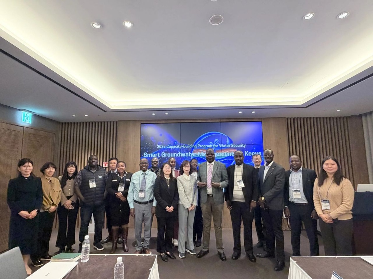
The project also involves training Kenyan water professionals in remote sensing, groundwater assessment and the interpretation of aquifer test results. In September 2024, a training programme hosted at the Kenya School of Government in Mombasa brought together 27 participants representing 16 government institutions.
Scientists use several other factors when assessing the suitability of a borehole site. Rainfall and groundwater recharge are important because aquifers depend on water entering the ground to replenish underground reserves. Soil characteristics, vegetation cover, drainage patterns and the shape of the landscape can help establish where rainfall is likely to infiltrate and contribute to groundwater storage.
Water quality is equally important. An area may have substantial groundwater reserves but contain naturally occurring minerals or other substances that make the water unsuitable for drinking without treatment. In parts of Kenya, fluoride, salinity and iron are among the groundwater quality challenges that require attention before a source is developed.
Existing boreholes also provide valuable information during site investigations. Their drilling records, water levels, geological descriptions and pumping test results can help hydrogeologists understand underground conditions and assess whether additional abstraction could affect neighbouring water sources.
The Water Resources Authority (WRA) regulates groundwater development and has established codes of practice covering borehole siting, construction, supervision and pumping tests. The authority emphasises the use of qualified groundwater professionals to minimise borehole failures and promote sustainable development.
Under the Water Resources Regulations, 2021, boreholes intended for motorised pumping must undergo test pumping to establish their performance. The regulations provide for a continuous pumping test of at least 24 hours, followed by a recovery period of at least 20 hours, unless otherwise directed by the authority.
The tests help determine how much water a borehole can produce, how groundwater levels respond to pumping and how quickly the water level recovers when pumping stops. This information is important in determining appropriate abstraction limits rather than relying solely on the amount of water encountered during drilling.
The need for stronger groundwater planning has become increasingly apparent in Nairobi, where growing borehole development has raised concerns about pressure on underground reserves. In March 2026, the Environment and Land Court directed WRA to undertake a survey of boreholes in Karen and provide an aquifer allocation plan for Nairobi following concerns raised by residents over increased groundwater abstraction.
The concerns highlight why identifying a productive borehole site must go hand in hand with determining how much water can sustainably be extracted from the aquifer. Even a borehole that initially produces substantial quantities of water may become less reliable if pumping exceeds the rate at which underground reserves are replenished.
Beyond identifying suitable drilling locations, groundwater mapping can also support managed aquifer recharge, an approach that involves directing suitable water into underground formations for storage and future use. This could help improve water security by allowing some water available during wet periods to be stored underground, subject to appropriate geological conditions and water-quality safeguards.
As Kenya expands groundwater investigations, the availability of reliable geological information will be essential in guiding investment in boreholes and community water supply projects. Better mapping, professional site assessments and regular monitoring could reduce unsuccessful drilling, protect existing aquifers and ensure that groundwater development responds to both present and future water needs.
Ultimately, the most suitable location for a borehole is not simply where underground water can be found, but where the geology, water quality, recharge capacity and existing demand support a reliable and sustainable supply.