





Kenya is exploring new approaches to protect its underground water resources, with groundwater mapping, scientific investigations and Managed Aquifer Recharge (MAR) emerging as important interventions in efforts to secure long-term water availability for Nairobi and surrounding areas.
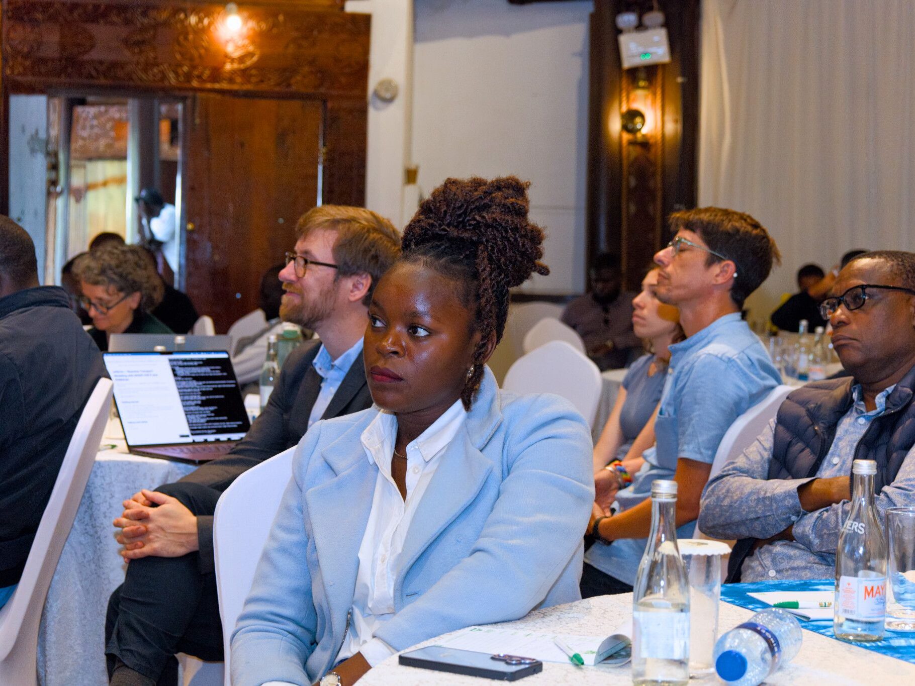
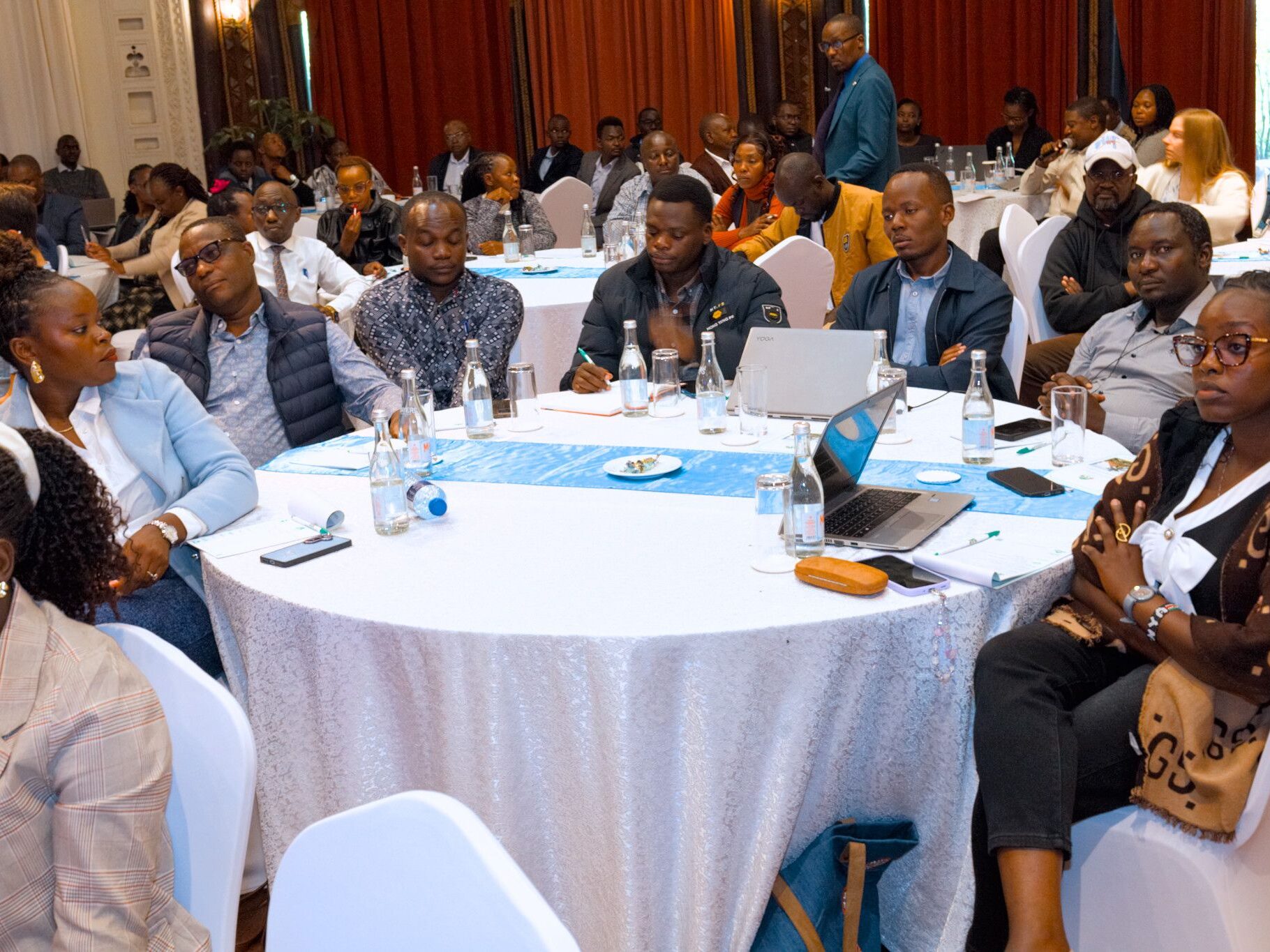
The discussions took centre stage during the GROWANA stakeholder workshop held on November 17, 2026, at Safari Park Hotel and Casino in Nairobi, where groundwater experts, government representatives, researchers and development partners examined the challenges facing the Nairobi Aquifer System (NAS) and possible solutions for sustainable groundwater management.
The workshop brought together technical expertise from Kenya and Denmark, with presentations focusing on groundwater recharge, geological investigations, aquifer behaviour, scientific mapping and the identification of potential sites for groundwater replenishment. The engagement provided an opportunity to examine how improved scientific knowledge can support water planning, particularly as Nairobi’s growing population, urban expansion and increasing demand for borehole water put pressure on underground reserves.
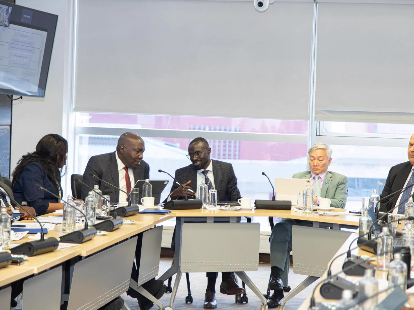
Representing Danish Water Cooperation was Jorgen Erik, Water Sector Counsellor at the Royal Danish Embassy (RDE), whose participation reflected the continuing collaboration between Kenya and Denmark in strengthening water resource management and technical capacity.
The cooperation is being advanced through the Groundwater Mapping for Nairobi (GROWANA) Project, a two-year initiative running from October 2025 to October 2027. The project brings together Danish and Kenyan institutions, including the Geological Survey of Denmark and Greenland (GEUS), Aarhus University, SkyTEM and the Regional Centre on Groundwater Resources Education, Training and Research (RCGW).
A major objective is to improve understanding of the geological and hydrogeological conditions beneath Nairobi and surrounding areas through advanced geophysical investigations. The resulting information is expected to support more accurate groundwater assessments, better borehole development decisions and identification of areas with potential for artificial groundwater recharge.
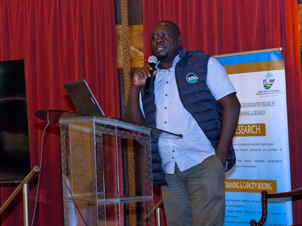
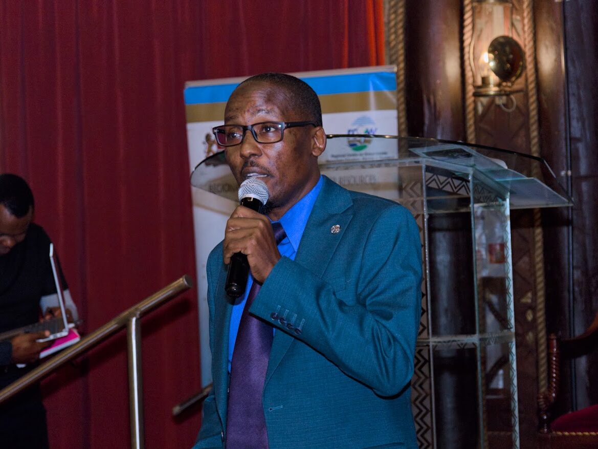
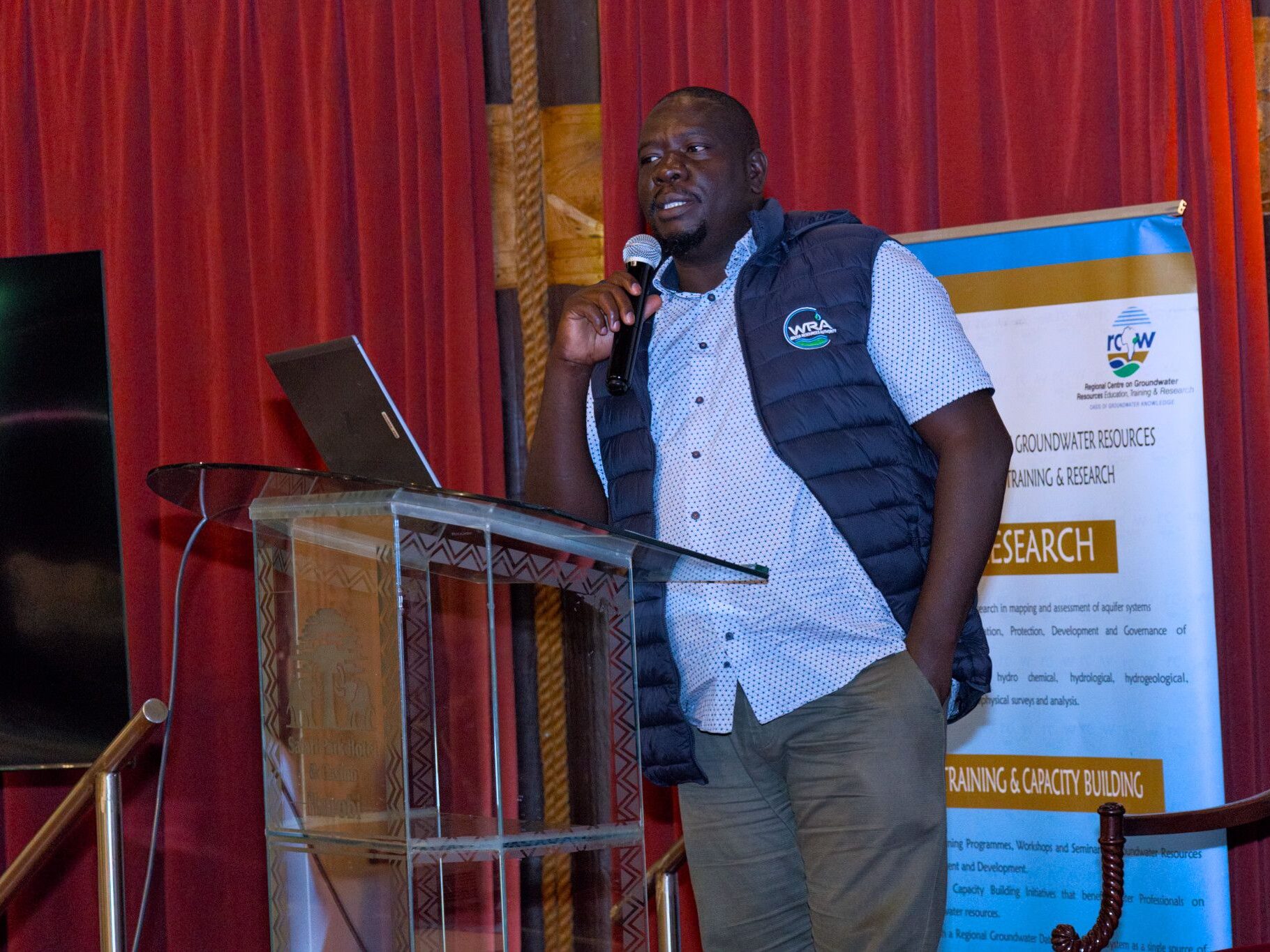
Dr. Samson Oiro ,Water Regulatory Authourity,WRA speaking during GROWANA stakeholder technical workshop at Safari Park Hotel
One of the central presentations examined whether Managed Aquifer Recharge could provide a practical solution for ensuring sustainable groundwater use in the Nairobi Aquifer System. Dr Samson Oiro of the Water Resources Authority (WRA) presented the topic, bringing attention to the relationship between groundwater extraction, natural replenishment and the long-term sustainability of underground water reserves.
MAR is an approach that involves collecting suitable water during periods of availability and directing it into underground formations for storage and future use. Rather than relying entirely on dams and surface reservoirs, the approach uses the natural storage capacity of aquifers to retain water that would otherwise flow away through rivers, drainage channels or surface runoff.
The method can involve infiltration ponds, recharge basins, specially designed wells and other structures that allow water to enter underground formations. Depending on the geological conditions, water may be introduced through natural infiltration or engineered systems.
For Nairobi, where heavy rainfall can generate considerable surface runoff while groundwater remains an important source of supply, MAR presents an opportunity to connect stormwater management with long-term water security. Properly designed systems could capture suitable excess rainfall, subject it to necessary treatment and introduce it into aquifers for storage during periods of higher demand or reduced rainfall.
However, MAR is not simply a matter of directing rainwater underground. Its success depends on understanding the geology of the receiving aquifer, establishing its capacity to accept additional water, assessing the quality of recharge water and monitoring changes in groundwater levels and quality. Without appropriate safeguards, recharge activities could introduce contaminants into underground reserves or affect the natural functioning of aquifers.
The need for such interventions is supported by earlier scientific research on the Nairobi Aquifer System. A study published in 2020 found that groundwater abstraction had increased tenfold since the mid-1970s, while groundwater levels beneath Nairobi had declined at a median rate of approximately six metres per decade since 1950. The research also identified substantial groundwater storage losses and declining river baseflow, highlighting the relationship between underground water extraction and the wider environment.
These findings reinforce the importance of combining groundwater replenishment with effective regulation of abstraction to prevent continued depletion.
Another presentation examined the hydrological investigations and surveys of groundwater resources in Nairobi. Gaelle Gautier of the Artelia consortium presented the work, focusing on the scientific investigations required to understand the city’s underground water systems.
Hydrological investigations are important because groundwater availability cannot be determined by looking at surface conditions alone. Researchers need to establish the characteristics of underground geological formations, how water moves through them, the extent of aquifers and the relationship between rainfall, recharge and groundwater discharge.
The investigations also contribute to understanding the distribution of water-bearing formations and the conditions that influence groundwater availability in different locations. Such information is essential for determining where boreholes can be developed, identifying areas suitable for recharge and establishing how groundwater resources can be managed without compromising their long-term sustainability.
The GROWANA Project uses airborne electromagnetic technology known as SkyTEM to improve the understanding of underground geological structures. The technology involves electromagnetic sensors mounted on a helicopter, which collect information about subsurface formations as the aircraft moves across designated survey areas.
The survey was conducted between March 5 and March 31, 2026, covering the Nairobi-Kajiado groundwater system. The collected information is processed to generate subsurface resistivity models that help researchers interpret geological structures and identify formations with potential groundwater-bearing characteristics.
The project is expected to produce detailed two-dimensional and three-dimensional hydrogeological models, improving understanding of aquifer boundaries, geological formations and potential groundwater recharge areas. These outputs could help reduce uncertainty in groundwater exploration and provide a stronger scientific foundation for future water infrastructure investments.
The workshop also extended its discussions beyond Nairobi through a presentation on understanding the dynamics of alluvial-lacustrine aquifers in Turkana County, using urban Lodwar and rural Eliye Springs as case studies.
The presentation was delivered by geologist Dan Kiso, a PhD candidate at the University of Nairobi, highlighting the importance of understanding groundwater systems in different geological and geographical settings.
Alluvial-lacustrine aquifers occur in deposits associated with river systems and former or existing lake environments. Alluvial materials are transported and deposited by flowing water, while lacustrine deposits originate from lake environments. These formations can contain different combinations of sand, gravel, silt and clay, influencing how groundwater is stored and transmitted.
Understanding these formations is particularly important in Turkana, where communities depend on groundwater to supplement limited and often seasonal surface water supplies. Geological conditions can vary considerably between locations, meaning that groundwater availability, movement and quality cannot be assumed to be uniform across the county.
The comparison between Lodwar and Eliye Springs provided a basis for examining how groundwater behaves in urban and rural environments and how local geological conditions influence water resource development. Such investigations are important in informing borehole planning, groundwater monitoring and the sustainable use of underground water in arid and semi-arid regions.
The wider GROWANA Project was also presented by Dr Flemming Larsen, Dr Anders Damsgaard and Dr Fredrick Hornung, providing stakeholders with an opportunity to understand the project’s scientific objectives, technical components and contribution to groundwater management.
The project represents a collaboration between Danish scientific institutions and Kenyan water-sector organisations, with the aim of strengthening local capacity to investigate, interpret and manage groundwater resources. Beyond collecting geophysical data, the initiative seeks to translate scientific findings into practical information that can support groundwater development, planning and conservation.
Another significant component of the workshop was the presentation of six proposed Managed Aquifer Recharge pilot sites in the Nairobi Aquifer System by Philip Emekwi.
The proposed sites form part of efforts to move MAR from a technical concept towards practical application. Identifying suitable locations is an important step because not every area has the geological and hydrological conditions required for successful artificial recharge.
Site assessments must consider the underlying geological formations, groundwater levels, infiltration capacity, availability and quality of recharge water, environmental conditions and proximity to potential pollution sources. The assessments are also necessary to determine the type of infrastructure required and the monitoring arrangements needed to evaluate performance.
The proposed pilots could provide an opportunity to test different recharge approaches under local conditions, generate information on the performance of recharge infrastructure and establish lessons for possible expansion across the Nairobi Aquifer System.
The final technical presentation examined the hydrological gaps in understanding the Nairobi Aquifer System, delivered by Prof Zacharia Kuria.
The issue of knowledge gaps is central to groundwater management because effective regulation depends on reliable information about how much water is available, where it is stored, how quickly it is replenished and the volumes being extracted by different users.
Without consistent information on groundwater levels, recharge rates, abstraction volumes and water quality, it becomes difficult for regulators to establish whether extraction is sustainable or determine the cumulative effects of multiple boreholes operating within the same aquifer.
Nairobi’s rapid urbanisation further complicates the situation. The expansion of buildings, roads and paved surfaces reduces the amount of rainfall that naturally infiltrates the ground, while increasing surface runoff. At the same time, growing demand from households, commercial establishments and industries has increased dependence on boreholes as an alternative source of water.
This creates a challenge that extends beyond groundwater exploration to include land-use planning, drainage infrastructure, sanitation management and environmental protection. Protecting underground water reserves therefore requires coordination between water resource regulators, county governments, environmental agencies, researchers and water service institutions.
The workshop’s discussions demonstrated the importance of connecting scientific research with practical groundwater governance. While advanced mapping can improve understanding of underground formations, its benefits will depend on how the information is applied in borehole licensing, abstraction monitoring, recharge planning and protection of groundwater sources.
The Water Resources Authority has an important regulatory role in this process, including overseeing groundwater abstraction and protecting water resources. The Regional Centre on Groundwater Resources Education, Training and Research also contributes through research, technical training and stakeholder engagement, while the Kenya-Denmark partnership provides additional scientific expertise and technological support.
For Nairobi, the combination of improved groundwater mapping and proposed MAR interventions offers an opportunity to rethink how underground water is managed as part of the city’s wider water supply system. Instead of treating groundwater mainly as an alternative whenever piped water is insufficient, the resource needs to be managed as a strategic reserve requiring continuous monitoring, protection and replenishment.
The GROWANA stakeholder workshop therefore provided an important platform for bringing together scientific knowledge, technical investigations and proposed interventions aimed at addressing the challenges facing the Nairobi Aquifer System.
As the project progresses towards its October 2027 completion, the critical task will be translating the research into usable groundwater information, implementing technically sound recharge pilots and strengthening the institutional capacity required to manage underground water sustainably.
Ultimately, the success of the initiative will not only be measured by the maps produced or the number of potential recharge sites identified, but by whether the information helps Kenya protect its aquifers, improve groundwater regulation and secure reliable water supplies for future generations.